
Steep Slopes and Landslide Hazards: How Seattle Geotechnical Engineers Mitigate Risk
High quality land that is flat, unencumbered, and easily developed is becoming harder to find around Seattle and the greater Puget Sound region. Buyers are increasingly evaluating properties affected by geologic hazards, such as landslide-prone areas near steep slopes and coastal bluffs; liquefaction-prone areas subject to failure during seismic shaking; steep slope erosion hazard areas; peat-settlement-prone areas; or other seismic or volcanic hazards. Due to Seattle’s unique geology, climate, and topography, our geologic hazards are plentiful. As a property owner affected by one or more of these hazards, you need to know:
What is the nature, extent, and severity of the hazard?
What regulations and codes will govern development and alterations on the property?
What limitations exist for potential future use?
What strategies can be employed to mitigate risks? How much will they cost?
Geotechnical engineers are licensed professionals with special expertise in geology and the behavior of soil, rock, and groundwater. Consultation with a local geotechnical engineer, such as Cross Reiter, at an early stage is a critical step to answer the questions posed above.

Landslide stabilization on Vashon Island with a cantilevered soldier pile wall designed by Cross Reiter staff.
Lets start with the most common geologic hazard in Western Washington: landslides. Landslides occur frequently in Seattle and Puget Sound and can be very destructive to life and property. In addition, conventional homeowner’s insurance rarely covers landslide damage. Landslide and steep slope hazard areas have already been mapped throughout our region by municipalities and jurisdictions, and if your property is located within a mapped hazard area there are special requirements for development and alterations on the property. These may include development, grading, and vegetation removal restrictions within the hazard area (and a buffer zone); special critical area permitting processes; limitations on septic drainfields and stormwater infiltration; and requirements to file special covenants and title notices that run with the land for perpetuity.
Cross Reiter has the expertise in slope stability analyses, numerical modeling, and soil mechanics to evaluate geologic hazards at a site and provide recommendations to mitigate risks and facilitate permitting and construction
Listen: a mapped hazard does not preclude development and beneficial use of the property. It means a hazard could potentially be present and further evaluation is required. In general, a geotechnical engineering analyses can demonstrate that proper development proposals are safe and that risks to public safety and the environment are mitigated. We have a wide variety of mitigation strategies we can employ with a wide range in costs, including landslide catchment/deflection elements, slope stabilization improvements, and/or alternative development approaches that avoid or do not exacerbate the hazard. Often it is possible to obtain an exemption from the codified requirements by demonstrating that minimal hazard exists in the first place, or that the proposal will have no impact on the hazard.
From deep foundations to retaining walls and groundwater control to soil reinforcement, geotechnical engineers like Cross Reiter have the expertise in slope stability analyses, numerical modeling, and soil mechanics to evaluate geologic hazards at a site and provide recommendations to mitigate risks and facilitate permitting and construction. Reach out today for a consultation. We have experience supporting development in geologically-hazardous areas and providing pre-purchase geotechnical evaluations for encumbered properties throughout Western Washington, including in the City of Seattle, City of Bainbridge Island, King County, Kitsap County, Snohomish County, and beyond.
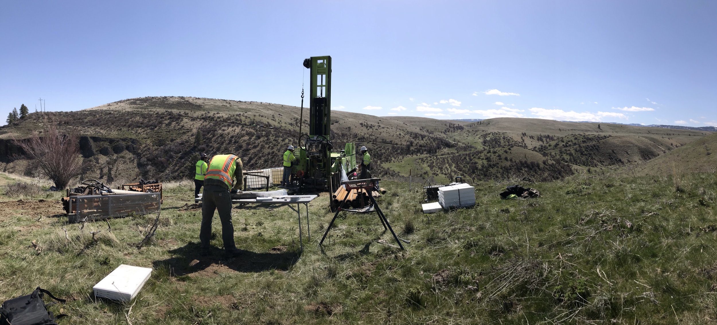
Cross Reiter staff leading a subsurface exploration program in Central Washington.